![[{[item.product.name]}]]([{[item.product.photo.url]}] 75w)


Mapa - Lasy Pilskie 1:50 000
Lasy Pilskie znajdują się na pograniczu województw wielkopolskiego i zachodniopomorskiego. Swym zasięgiem obejmują część Pojezierza Pomorskiego. To obszar o urozmaiconej rzeźbie terenu, którą przed tysiącami lat ukształtowała działalność lądolodu, wysokiej lesistości i licznych jeziorach.
Mapa przedstawia rozległy kompleks lasów ciągnący się od okolic Piły na południu przez Jastrowie, Okonek i Borne Sulinowo na północy. Na zachodzie zasięg mapy wyznacza Wałcz, na wschodzie - Złotów i Białośliwie.
Safety Information
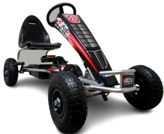
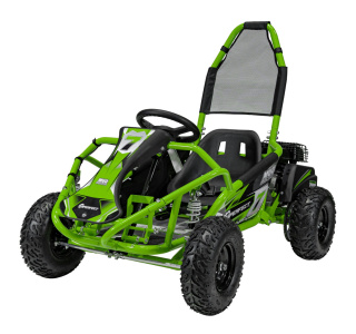
For use under direct adult supervision, Need to use protective measures. Do not use in traffic, Not suitable for children under the specified age. For use under adult supervision, This toy does not offer protection, Includes a toy. Adult supervision recommended
It has the CE mark confirming compliance with the requirements of the European Union directive for this type of device.
CE Declaration of Conformity | Complies with EN-71 - Safety of toys
For children over 3 years of age
It has the CE mark confirming compliance with the requirements of the European Union directive - Compliant with the EN-71 standard - Safety of toys