![[{[item.product.name]}]]([{[item.product.photo.url]}] 75w)


Mapa - Góry i Pogórze Izerskie 1:50 000 w.2022
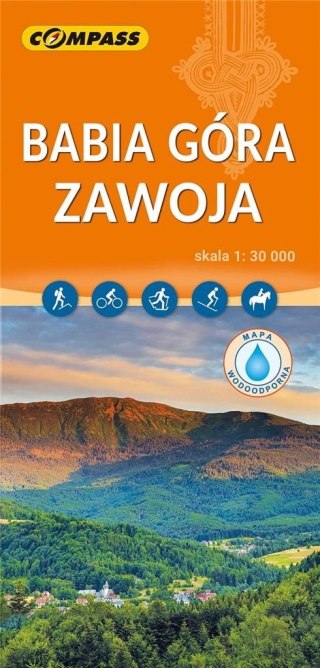
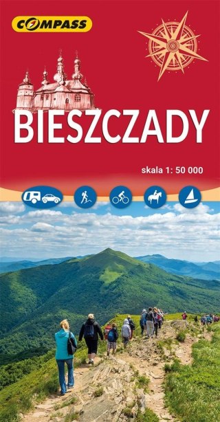
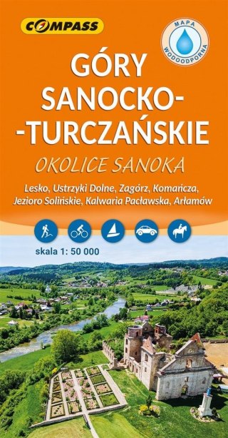
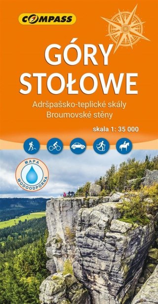
Na mapie zaznaczono m.in.:
- sieć dróg wraz z numeracją,
- stacje benzynowe, parkingi, przystanki,
- szlaki turystyczne, Św. Jakuba,
- ścieżki rowerowe, szlaki konne, kajakowe
- drogi polne i leśne, ścieżki, zakazy wjazdu,
- wyciągi narciarskie, nartostrady,
- obiekty sakralne, zamki, pałace, ruiny, muzea,
- miejsca bitew, młyny, grodziska,
- punkty informacji, punkty widokowe,
- bazę noclegową, restauracje, miejsca odpoczynku,
- parkingi, stacje paliw, przystanki,
- skały, jaskinie, rumowiska, kamieniołomy,
- rzeki, strumienie, przełęcze, szczyty.
Na rewersie zamieszczono dodatkowo:
- opis najważniejszych atrakcji turystycznych,
- plany: Leśnej, Gryfowa Śląskiego, Mirska, Świeradów-Zdrój,
- mapę ścieżki dydaktycznej Modelu Układu Słonecznego.
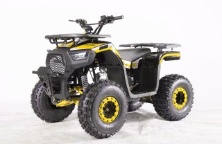
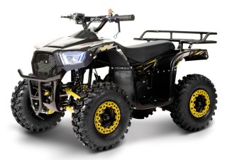
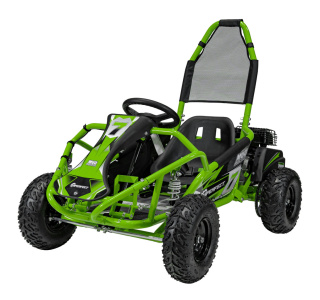
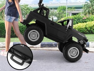
Safety Information
For use under direct adult supervision, Need to use protective measures. Do not use in traffic, Not suitable for children under the specified age. For use under adult supervision, This toy does not offer protection, Includes a toy. Adult supervision recommended
It has the CE mark confirming compliance with the requirements of the European Union directive for this type of device.
CE Declaration of Conformity | Complies with EN-71 - Safety of toys
For children over 3 years of age
It has the CE mark confirming compliance with the requirements of the European Union directive - Compliant with the EN-71 standard - Safety of toys