Mapa - Sudety Zachodnie 1:75 000 w.2023
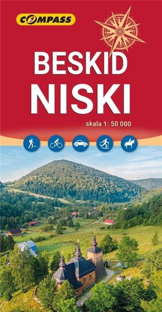
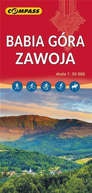
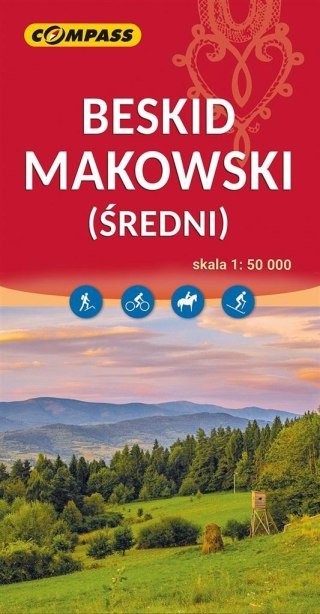
Aktualizowana w terenie mapa obejmująca obszar Sudetów Zachodnich. Mapa jest cieniowana i w sposób szczególny wyróżnione na niej zostały atrakcje oraz szlaki piesze i rowerowe. Ukształtowanie terenu pokazano przy pomocy warstwic o cięciu co 20 m. Mapa posiada siatkę geograficzną opartą na elipsoidzie WGS 84, stosowaną w nawigacji. Na rewersie znajduje się bogaty opis turystyczny wraz ze zdjęciami. Mapa Sudety Zachodnie to idealna propozycja dla rowerzystów i osób podróżujących samochodem.
Safety Information
For use under direct adult supervision, Need to use protective measures. Do not use in traffic, Not suitable for children under the specified age. For use under adult supervision, This toy does not offer protection, Includes a toy. Adult supervision recommended
It has the CE mark confirming compliance with the requirements of the European Union directive for this type of device.
CE Declaration of Conformity | Complies with EN-71 - Safety of toys
For children over 3 years of age
It has the CE mark confirming compliance with the requirements of the European Union directive - Compliant with the EN-71 standard - Safety of toys
![[{[item.product.name]}]]([{[item.product.photo.url]}] 75w)

